
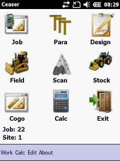
CEASER Field Mobile Software
• CEASER_field and any Windows Mobile\CE device integrate to give you, the surveyor, one of the most powerful handheld surveying software processing tools available in the world today.
• The user-friendly interface, large resolution windows VGA screen of the Mobile Unit, makes CEASER_field the ideal companion for any surveying project.
• CEASER_field can be used on any Project that can be defined by Geometric parameters, Strings, TIN Models or Coordinates.
• No more repetitious calculations necessary before any Surveying can be done, enter only the design parameters and CEASER_field will do the rest.
• Errors practically eliminated due to limited human involvement.
• Increased productivity, shorter training period and reduced costs.
• Learn only the program, instead of getting acquainted with the different surveying instruments. CEASER_field takes control of your instrument.
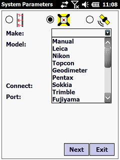
• Can be linked up to the most common Total Stations or Electronic Levels for automatic data transfer or used in manual mode with entries via the keyboard.
• Setup station can be anywhere as long as a minimum of two known reference points are observed – the surveyor need not setup anymore over a known point.
• CEASER_field makes use of real time Dynamic Surveying Principles (DSP) in a three dimensional space frame, thereby releasing the surveyor from the stakeline and offset method of surveying.
• All results are dynamic at the instrument, in the field, at any position required by the surveyor.
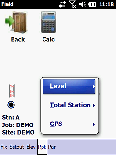
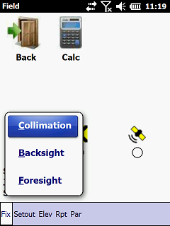
• Swap between a Level, Total Station or GPS without losing any data. Same Database is used irrespective of the instrument that you are using.
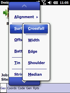
Design
Any Job that can be defined by Geometric Parameters, Coordinates, Strings or a Tin model can be processed by this program. Design options include:
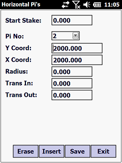
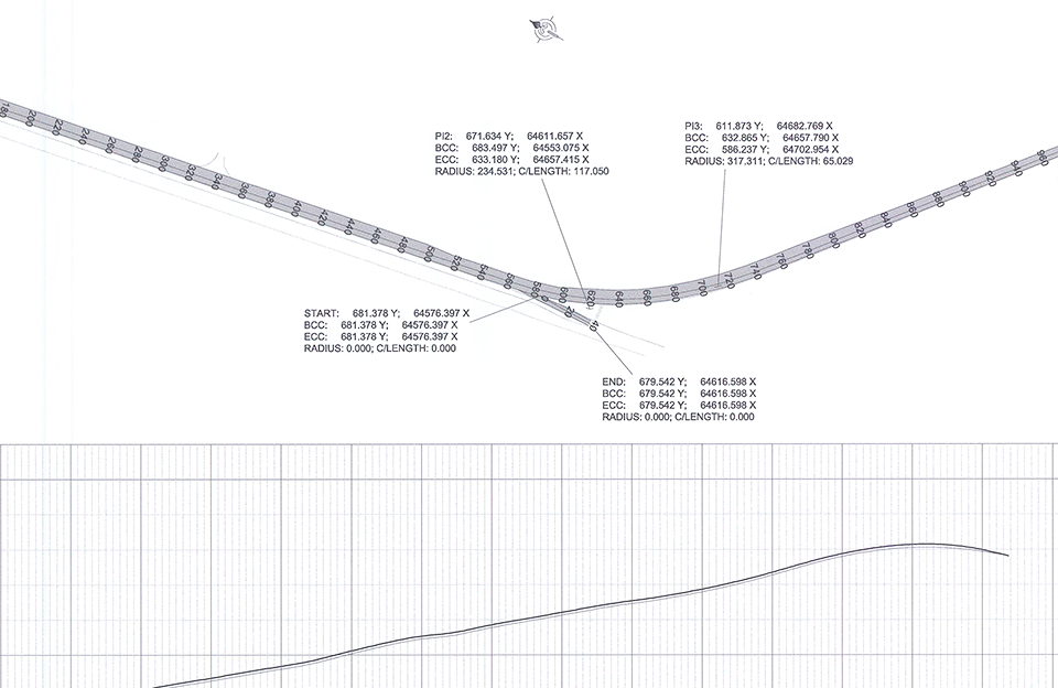
• Horizontal Alignments With Even Or Uneven Runin And Runout Spirals
• Alignment Points To Define Any Type Of Horizontal Alignment
• Vertical Alignments Using Parabolic, Cubic Parabolic or Vertical Curves with Symmetrical or Asymmetrical Curve Lengths.
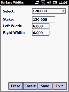
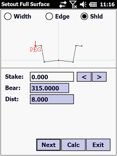
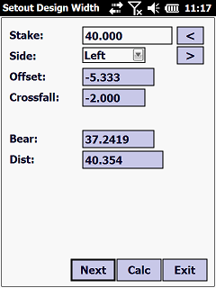
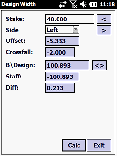
• Crossfalls, Surface Widths, Outer Edge Shift, Shoulder Widths, Stakeline and Gradeline Offsets.
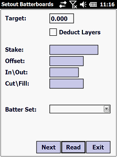
• Batters for Cut and Fill Conditions.
• Tin Models.
• Terraces.
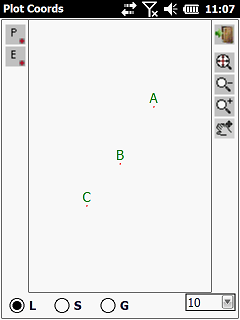
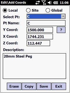
• Local, Site or Global Coordinate Files.
• Strings.
• Import Design from Text Files, Roadmaker, LandXML or Civil Designer…etc.
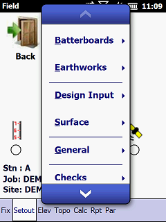
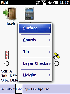
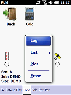
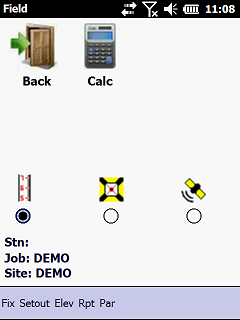
Field
Setting out or checking of elevations can be done with a Level, Total Station or GPS. Swap between any type of instrument as the Job requires it. The Surveyor is not bounded anymore by the stakeline and offset method of surveying.
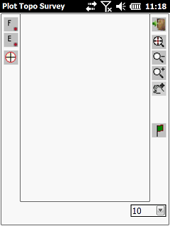
Now Profiles, Batterboards, etc. can be set out at any position and offset required. All Fieldwork can be recorded for hardcopy records.
• Fixing by Eccentric, Free Positioning, etc.
• Design Surface, Edge Shift, Shoulder Width and Appendage Width.
• Single and Combined Batterboards.
• Bulk Earthworks Checks.
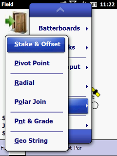
• Stake Value and Offset.
• Check Points.
• Local, Site or Global File.
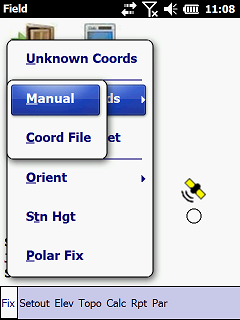
• Manual Coordinates.
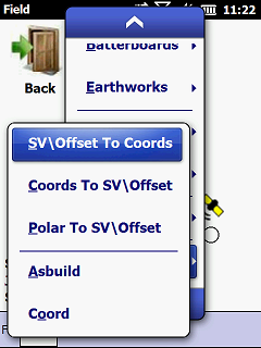
• Stake Value and Offset to YXZ.
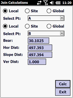
• Polar Joins.
• Radial Setouts.
• YXZ to Stakevalue, Offset and Design Level.
• Polar To Stakevalue, Offset and Design Level.
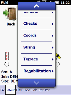
• Terraces. • Strings.
• TIN Models.
• Rehabilitation.
• Polar To Asbuilds.
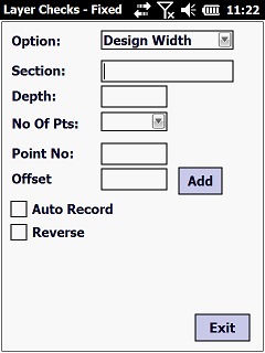
• Layer Checks.
• Levelling.
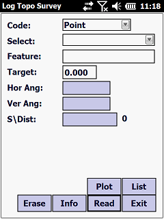
• Logging and Reduction of Topo Data…etc
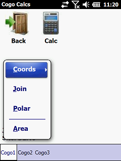
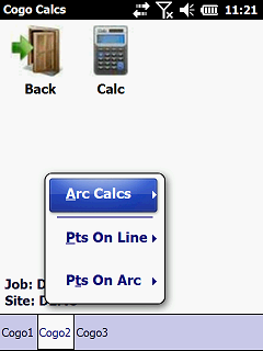
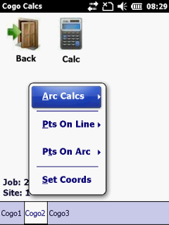
COGO
• Area Calculations.
• 3D Polar And 3D Join Calculations.
• Intersections.
• Curve Fitting.
• Conversions.
• Splays.
• Transformations…etc.
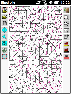
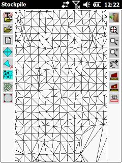
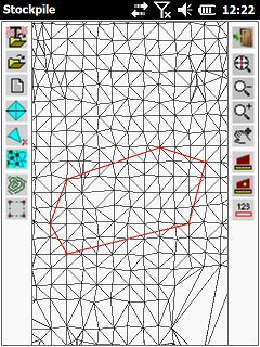
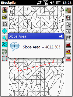
Stock
• Import Points from Text Files.
• Generate Tin Models.
• Plot Contours.
• Shade Model.
• Plane and Slope Areas.
• Convert To Design.
• Volume Calculations…….etc.
Calc
• HP logic Survey Calculator